


Meiller Fontaine Bogny

PascalBanide
User


Length
6.4 km

Max alt
365 m

Uphill gradient
196 m
Km-Effort
9 km

Min alt
197 m

Downhill gradient
196 m
Boucle
Yes
Creation date :
2017-04-30 00:00:00.0
Updated on :
2017-04-30 00:00:00.0
1h54
Difficulty : Difficult

FREE GPS app for hiking
 SityTrail
IGN / Geographical institutes
SityTrail Plus
The world is yours!
About
Trail Walking of 6.4 km to be discovered at Grand Est, Ardennes, Nouzonville. This trail is proposed by PascalBanide.
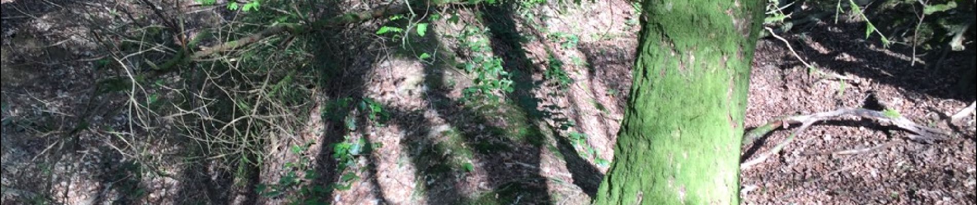
Photos

Positioning
Country:
France
Region :
Grand Est
Department/Province :
Ardennes
Municipality :
Nouzonville
Location:
Meillier-Fontaine
Start:(Dec)
Start:(UTM)
623103 ; 5521607 (31U) N.
Comments