


leucate

Fildesir
User
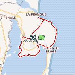

Length
15.5 km

Max alt
57 m

Uphill gradient
140 m
Km-Effort
17.4 km

Min alt
-3 m

Downhill gradient
140 m
Boucle
Yes
Creation date :
2017-05-04 00:00:00.0
Updated on :
2017-05-04 00:00:00.0
6h01
Difficulty : Unknown

FREE GPS app for hiking
 SityTrail
IGN / Geographical institutes
SityTrail Plus
The world is yours!
About
Trail Walking of 15.5 km to be discovered at Occitania, Aude, Leucate. This trail is proposed by Fildesir.
Description
caminem
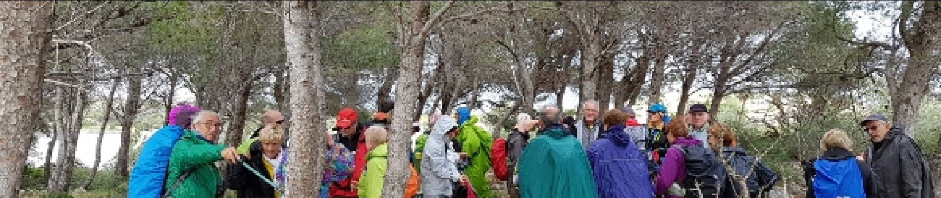
Photos


Positioning
Country:
France
Region :
Occitania
Department/Province :
Aude
Municipality :
Leucate
Location:
Unknown
Start:(Dec)
Start:(UTM)
503032 ; 4750435 (31T) N.
Comments