


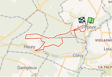


17.5 km | 21 km-effort

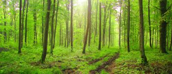
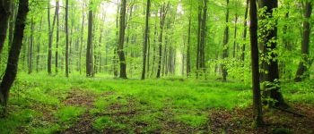
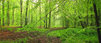
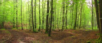
forêts de France


FREE GPS app for hiking
 SityTrail
IGN / Geographical institutes
SityTrail World
The world is yours!
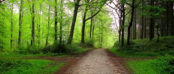
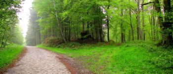
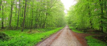
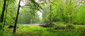
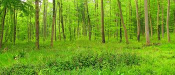
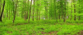
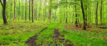
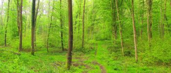
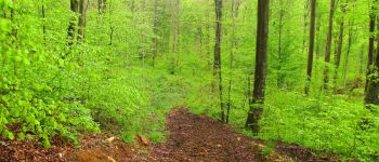
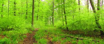
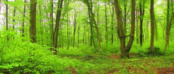
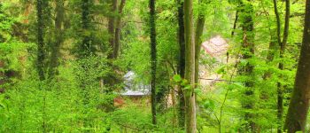
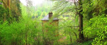
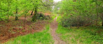
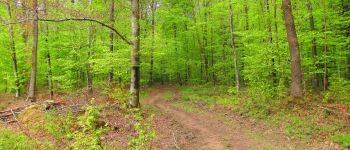
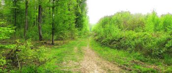
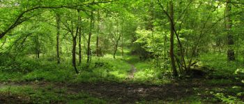
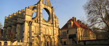
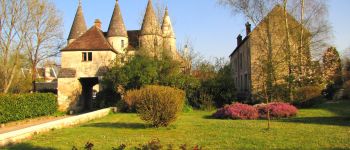
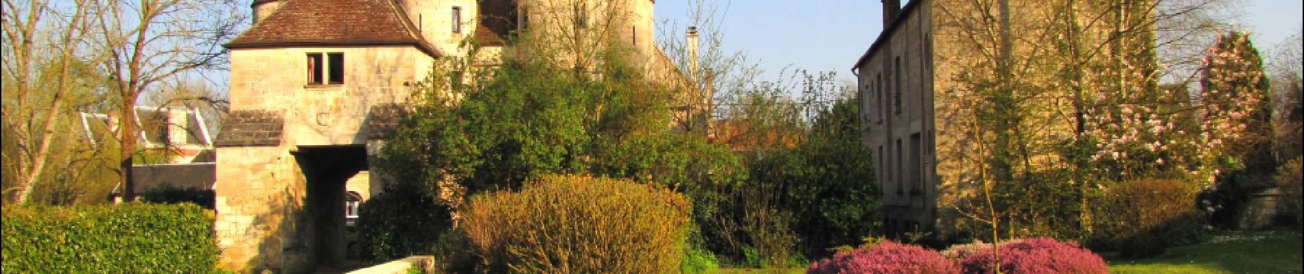
Trail Walking of 16 km to be discovered at Hauts-de-France, Aisne, Longpont. This trail is proposed by en forêt de Retz.
voir aussi:
http://foret-de-retz.over-blog.com/
05/ 2017
batterie de rechange pour iphone conseillée.
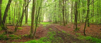
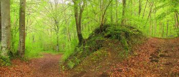
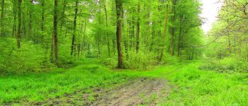
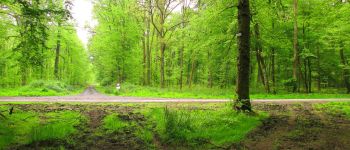
Classée très difficile car beaucoup de laies boueuses, des chemins retournés par les sangliers et la laie de la fosse aux Barres envahie par des plantes aquatiques sur la portion parcourue.
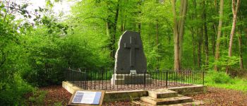
Au départ de Longpont, rejoindre le GR11A "aux trois maisons". Le suivre jusqu'au chemin de Longpont et continuer à gauche sur le chemin jusqu'à la Croix Bacquet. Prendre la laie de la Croix Bacquet jusqu'au carrefour de l'Air l'Oiseau. Tourner à gauche dans la laie des étangs et suivre jusqu'au carrefour des Rossignols. Prendre à gauche la laie des Rossignols jusqu'au carrefour avec la route du Pendu. La suivre à gauche jusqu'au carrefour avec la laie du petit étang. Continuer à droite jusqu'au carrefour des Pigeons. Prendre à gauche la laie du Bois Rond jusqu'au carrefour du Bois Rond. Prendre à droite la laie des Chamarts et continuer jusqu'au carrefour avec la laie qui longe l'étang de Fleury. Suivre ce chemin à droite jusqu'au carrefour du Rocher. Remonter la laie du petit étang à gauche jusqu'au carrefour du Lapereau. Tourner à droite dans la laie du Pré des Dames et continuer jusqu'au carrefour des Jumeaux. Prendre à droite la laie du Bois Rond jusqu'au carrefour de la Fosse aux Barres. Prendre à gauche la laie de la Ramée jusqu'au carrefour des Grands Charmes et suivre à gauche la laie de Vauvaudran jusqu'au carrefour des Tourterelles. Tourner à droite dans la route du Pendu et continuer jusqu'au carrefour du Pendu. Retrouver la laie du Vieux Mur à gauche et la suivre jusqu'au chemin de Lonpont. Tourner à droite et suivre la D2 jusqu'à Longpont.


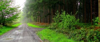
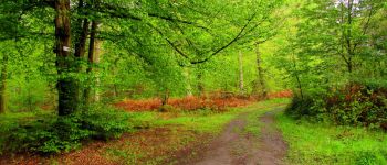
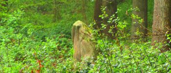
172 photos in total. Please click on a photo to see them all in the gallery.

Walking

Walking

Walking

On foot

On foot

Walking

Walking

Walking

Walking