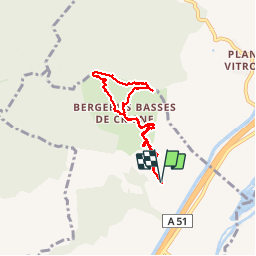
Trail Walking Monêtier-Allemont - Pic de Crigne. - Photo
© OpenStreetMap contributors
Length
Length
7 km
Max alt
Max alt
1231 m
Uphill gradient
Uphill gradient
644 m
Km-Effort
Km-Effort  
15.6 km
Min alt
Min alt
615 m
Downhill gradient
Downhill gradient
647 m
Boucle
Boucle
Yes
Creation date :
2017-05-07 00:00:00.0
Updated on :
2017-05-07 00:00:00.0

(0 Reviews)

Walking
Walking
4h15
Difficulty : Difficult

Scan this QR Code to open this trail in the SityTrail application

FREE GPS app for hiking

Logo SityTrail SityTrail

IGN / Geographical institutes

Download SityTrail from the App Store Download SityTrail from Google Play

Logo SityTrail SityTrail Plus

The world is yours!

Download SityTrail from the App Store Download SityTrail from Google Play Download SityTrail on Huawei AppGallery

About

Trail Walking of 7 km to be discovered at Provence-Alpes-Côte d'Azur, Hautes-Alpes, Monêtier-Allemont. This trail is proposed by Dervalmarc.

Description

Randonnée sportive malgré un dénivelé abordable.passage delicat juste sous la cime.Vire avec une corde pour securiser ceux qui sont sujet au vertige.Problème de balisage pas tres évident à partir de la bergerie rénovée
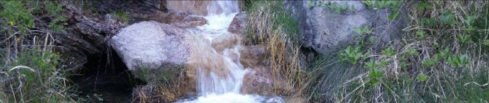
Elevation profile

Photos

Positioning

Country:
France
Region :
Provence-Alpes-Côte d'Azur
Department/Province :
Hautes-Alpes
Municipality :
Monêtier-Allemont
Location:
Unknown
Start:(UTM)
734045 ; 4920181 (31T) N.


Close
My subscriptions