


Au5V 7 mai 2017

gilbertdu60
User
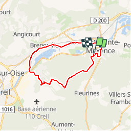

Length
23 km

Max alt
128 m

Uphill gradient
245 m
Km-Effort
26 km

Min alt
25 m

Downhill gradient
244 m
Boucle
Yes
Creation date :
2017-05-09 00:00:00.0
Updated on :
2017-05-09 00:00:00.0
2h05
Difficulty : Medium

FREE GPS app for hiking
 SityTrail
IGN / Geographical institutes
SityTrail Plus
The world is yours!
About
Trail Cycle of 23 km to be discovered at Hauts-de-France, Oise, Pont-Sainte-Maxence. This trail is proposed by gilbertdu60.
Description
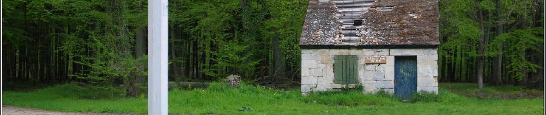
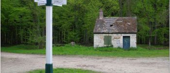
balade en halatte vers Verneuil et retour par chemin de halage rive droite vers Pont sainte Maxence
Photos


Positioning
Country:
France
Region :
Hauts-de-France
Department/Province :
Oise
Municipality :
Pont-Sainte-Maxence
Location:
Unknown
Start:(Dec)
Start:(UTM)
470624 ; 5460239 (31U) N.
Comments