


Maladetta

epablo
User
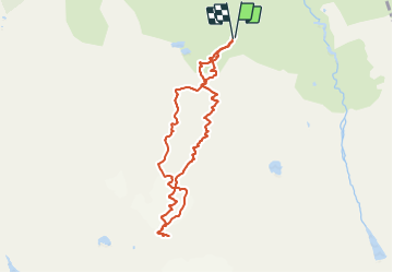

Length
8.7 km

Max alt
3276 m

Uphill gradient
1125 m
Km-Effort
24 km

Min alt
2137 m

Downhill gradient
1123 m
Boucle
Yes
Creation date :
2017-05-10 00:00:00.0
Updated on :
2017-05-10 00:00:00.0
5h42
Difficulty : Unknown

FREE GPS app for hiking
 SityTrail
IGN / Geographical institutes
SityTrail Plus
The world is yours!
About
Trail Other activity of 8.7 km to be discovered at Aragon, Huesca, Benasque. This trail is proposed by epablo.
Description
Refuge de la rencluse.
Maladeta
Refuge de la rencluse
Positioning
Country:
Spain
Region :
Aragon
Department/Province :
Huesca
Municipality :
Benasque
Location:
Unknown
Start:(Dec)
Start:(UTM)
307479 ; 4726788 (31T) N.
Comments