Rochesson

jeanclaude12
User
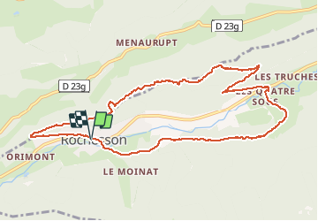

Length
10.6 km

Max alt
843 m

Uphill gradient
421 m
Km-Effort
16.2 km

Min alt
532 m

Downhill gradient
421 m
Boucle
Yes
Creation date :
2017-05-10 00:00:00.0
Updated on :
2017-05-10 00:00:00.0
2h50
Difficulty : Medium

FREE GPS app for hiking
 SityTrail
IGN / Geographical institutes
SityTrail Plus
The world is yours!
About
Trail Walking of 10.6 km to be discovered at Grand Est, Vosges, Rochesson. This trail is proposed by jeanclaude12.
Description
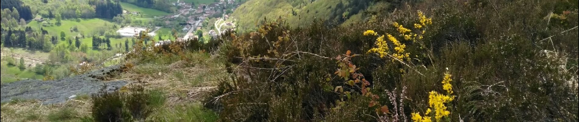
Au départ de Rochesson, voilà une agréable randonnée d'environ onze kms vers la Roche des Ducs et la Cascade du Bathion
Photos

Positioning
Country:
France
Region :
Grand Est
Department/Province :
Vosges
Municipality :
Rochesson
Location:
Unknown
Start:(Dec)
Start:(UTM)
334858 ; 5321179 (32U) N.
Comments