


Abriès 1

lviallet
User
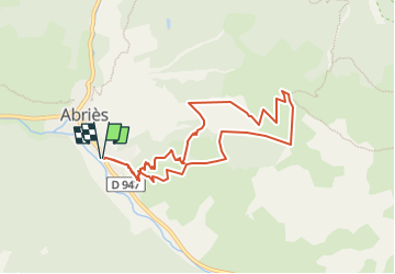

Length
8.9 km

Max alt
2369 m

Uphill gradient
828 m
Km-Effort
19.9 km

Min alt
1559 m

Downhill gradient
828 m
Boucle
Yes
Creation date :
2017-05-12 00:00:00.0
Updated on :
2017-05-12 00:00:00.0
3h52
Difficulty : Unknown

FREE GPS app for hiking
 SityTrail
IGN / Geographical institutes
SityTrail Plus
The world is yours!
About
Trail Walking of 8.9 km to be discovered at Provence-Alpes-Côte d'Azur, Hautes-Alpes, Abriès-Ristolas. This trail is proposed by lviallet.
Description
Sur Parking sortie Abriès:
447893, 6.93031
Montée sans chemin vraiment traçé...
Positioning
Country:
France
Region :
Provence-Alpes-Côte d'Azur
Department/Province :
Hautes-Alpes
Municipality :
Abriès-Ristolas
Location:
Abriès
Start:(Dec)
Start:(UTM)
336309 ; 4961614 (32T) N.
Comments