


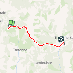

16.7 km | 26 km-effort

dernière ligne droite?


FREE GPS app for hiking
 SityTrail
IGN / Geographical institutes
SityTrail World
The world is yours!
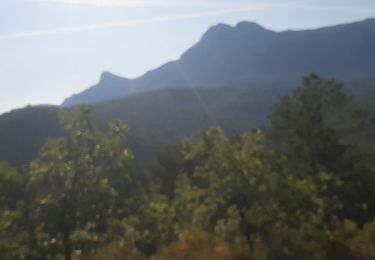
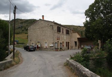
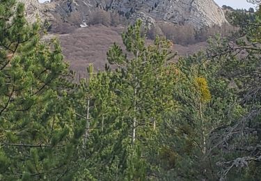
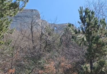
Trail Walking of 15.5 km to be discovered at Provence-Alpes-Côte d'Azur, Alpes-de-Haute-Provence, Tartonne. This trail is proposed by DC2019.
Par le col de Séoune
Walking
Walking
Walking

Walking

Mountain bike
Mountain bike

Mountain bike
Walking
Walking