


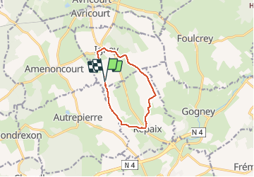

16.5 km | 20 km-effort

User


FREE GPS app for hiking
 SityTrail
IGN / Geographical institutes
SityTrail World
The world is yours!
Trail Walking of 8.4 km to be discovered at Grand Est, Meurthe-et-Moselle, Igney. This trail is proposed by reneperrin.
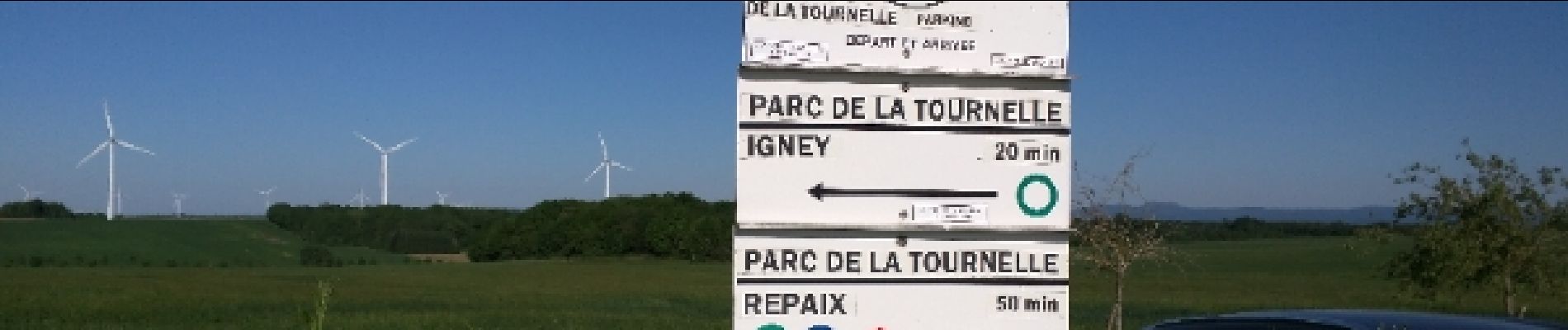
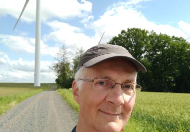
tour du parc éolien: 8,4 km


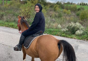
Horseback riding
Mountain bike

Horseback riding
Horseback riding


sport

Walking