


Reillon, les Entonnoirs

reneperrin
User
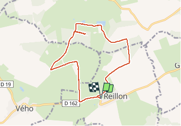

Length
8.1 km

Max alt
290 m

Uphill gradient
119 m
Km-Effort
9.7 km

Min alt
244 m

Downhill gradient
120 m
Boucle
Yes
Creation date :
2017-05-31 00:00:00.0
Updated on :
2017-05-31 00:00:00.0
1h58
Difficulty : Easy

FREE GPS app for hiking
 SityTrail
IGN / Geographical institutes
SityTrail Plus
The world is yours!
About
Trail Walking of 8.1 km to be discovered at Grand Est, Meurthe-et-Moselle, Reillon. This trail is proposed by reneperrin.
Description
petite boucle de Reillon vers les Entonnoirs: 8,1 km
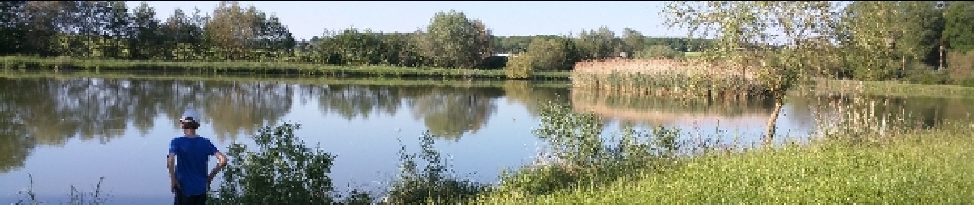
Photos


Positioning
Country:
France
Region :
Grand Est
Department/Province :
Meurthe-et-Moselle
Municipality :
Reillon
Location:
Unknown
Start:(Dec)
Start:(UTM)
333296 ; 5385285 (32U) N.
Comments