


venetië dag 6

karawatsj
User

Length
73 km

Max alt
297 m

Uphill gradient
798 m
Km-Effort
83 km

Min alt
208 m

Downhill gradient
784 m
Boucle
No
Creation date :
2017-06-04 00:00:00.0
Updated on :
2017-06-04 00:00:00.0
4h22
Difficulty : Medium

FREE GPS app for hiking
 SityTrail
IGN / Geographical institutes
SityTrail Plus
The world is yours!
About
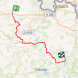
Trail Cycle of 73 km to be discovered at Grand Est, Moselle, Varize-Vaudoncourt. This trail is proposed by karawatsj.
Description
Door Lotharingen van Varize naar Mittelheim
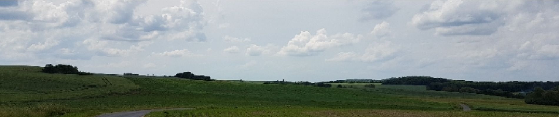
Photos


Positioning
Country:
France
Region :
Grand Est
Department/Province :
Moselle
Municipality :
Varize-Vaudoncourt
Location:
Unknown
Start:(Dec)
Start:(UTM)
314411 ; 5445515 (32U) N.
Comments