


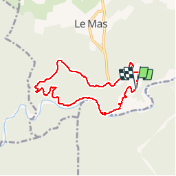

16.9 km | 24 km-effort


User


FREE GPS app for hiking
 SityTrail
IGN / Geographical institutes
SityTrail World
The world is yours!
Trail Walking of 7.6 km to be discovered at Occitania, Gard, Saint-Privat-de-Champclos. This trail is proposed by will83.
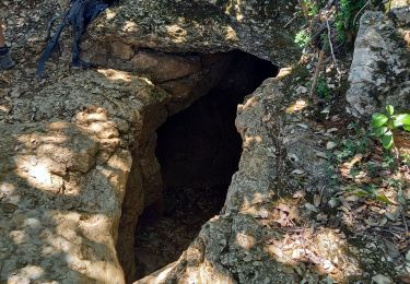
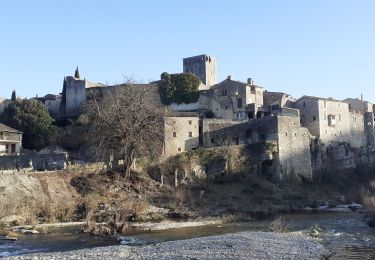
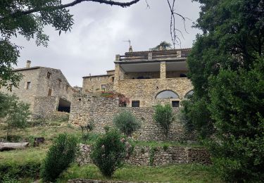
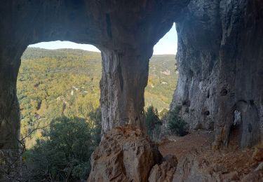
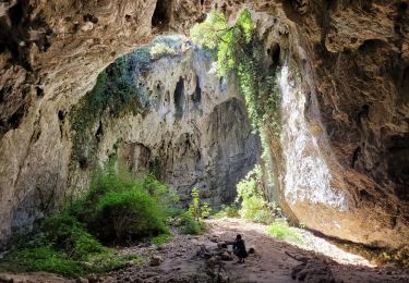
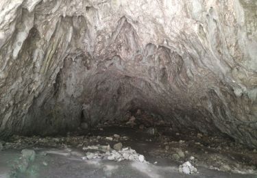
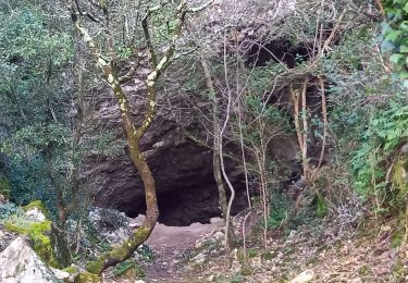
Chapelle de l'Ermitage SAINT- FERREOL au départ du domaine de La sablière par la piste de Combe Longue.
Baignade possible.
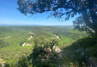
Randonnée sans difficulté physique. Présence d'un passage technique difficile avec main courante lors du retour sur le domaine en bordure de la Ceze.
Attention au soleil sur la piste, pas d'ombre. (variante technique par un sentier à gauche au niveau de l'intersection Serre du Barri mais glissante par temps humide)
Walking
Walking
Walking
Walking
Walking
Walking
Walking