


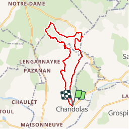
vallon de Fontgraze ARDE`CHE GPS

silvestreclaudine
User


5h39
Difficulty : Easy

FREE GPS app for hiking
 SityTrail
IGN / Geographical institutes
SityTrail Plus
The world is yours!
About
Trail Walking of 15.1 km to be discovered at Auvergne-Rhône-Alpes, Ardèche, Chandolas. This trail is proposed by silvestreclaudine.
Description
Depart chandolas ,aller retour aven du Réméjadou .hameau de Fontgraze direction la source ,attention à partir de là le sentier est très discret !bien suivre la trace GPS le site est sauvage . J'ai pas trouvé le dolmen
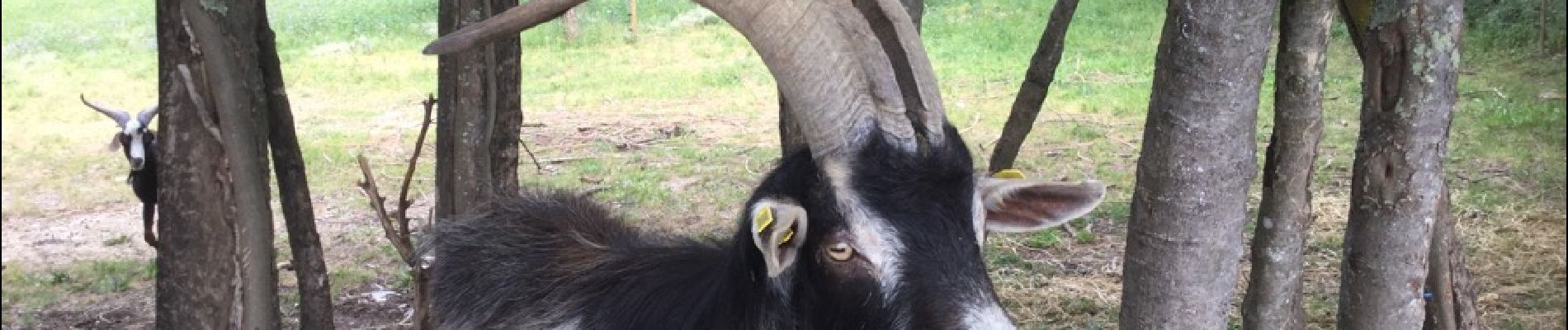
Photos


Positioning
Comments