


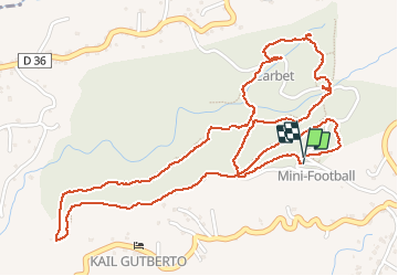


10.8 km | 13.3 km-effort

User


FREE GPS app for hiking
 SityTrail
IGN / Geographical institutes
SityTrail World
The world is yours!
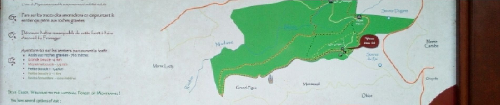
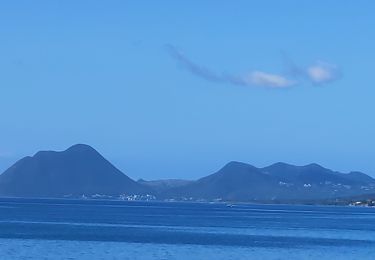
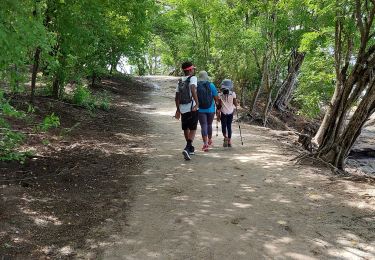
Trail Walking of 5.1 km to be discovered at Martinique, Unknown, Sainte-Luce. This trail is proposed by nanameyniac.

Walking

Walking
Walking
Walking
Walking

Walking
Walking

Walking
Walking
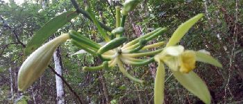
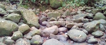
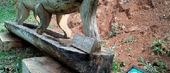
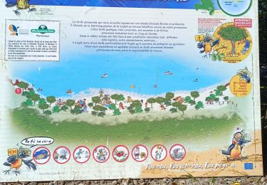
belle balade en pleine forêt