


venetië dag 8

karawatsj
User
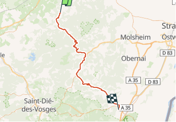

Length
74 km

Max alt
791 m

Uphill gradient
1175 m
Km-Effort
90 km

Min alt
188 m

Downhill gradient
1310 m
Boucle
No
Creation date :
2017-06-05 00:00:00.0
Updated on :
2017-06-05 00:00:00.0
5h42
Difficulty : Difficult

FREE GPS app for hiking
 SityTrail
IGN / Geographical institutes
SityTrail Plus
The world is yours!
About
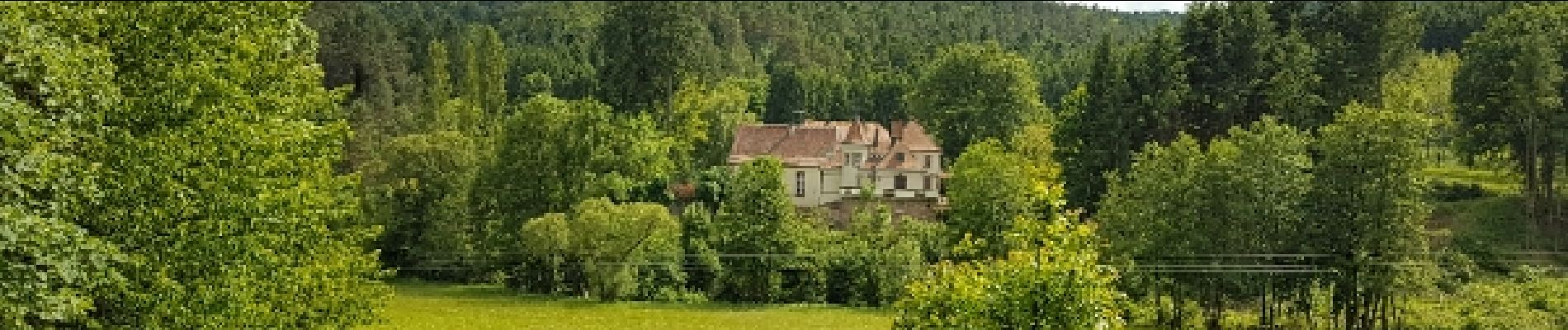
Trail Cycle of 74 km to be discovered at Grand Est, Moselle, Vasperviller. This trail is proposed by karawatsj.
Description
Via de Col du Donon en de Col de Steige van Lotharingen naar de Elzas
Photos


Positioning
Country:
France
Region :
Grand Est
Department/Province :
Moselle
Municipality :
Vasperviller
Location:
Unknown
Start:(Dec)
Start:(UTM)
357865 ; 5388696 (32U) N.
Comments