


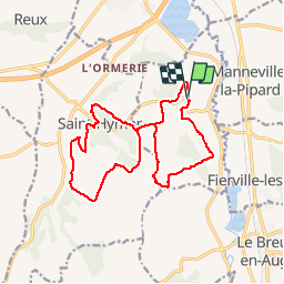

14.8 km | 18.9 km-effort


User


FREE GPS app for hiking
 SityTrail
IGN / Geographical institutes
SityTrail World
The world is yours!
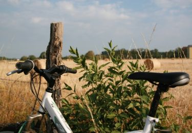
Trail Walking of 15 km to be discovered at Normandy, Calvados, Pierrefitte-en-Auge. This trail is proposed by gr1346.

Walking

Walking
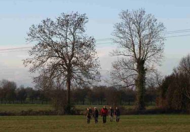
Walking
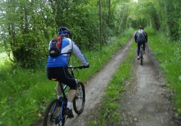
Mountain bike

Walking

Mountain bike
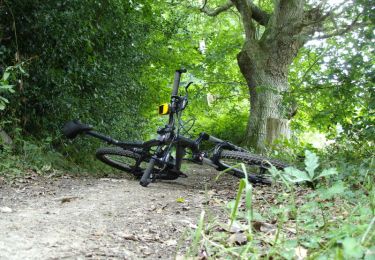
Mountain bike
Mountain bike
Walking
Balade agréable. Bonne grimpette musclée en cours de route. On peut ne faire que la partie Pierrefitte qui se suffit à elle-même.