


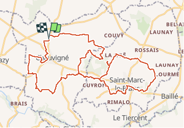
04.07.2017 - CHAUVIGNÉ à ST MARC LE BLANC Corrigé

babeth35
User

Length
28 km

Max alt
118 m

Uphill gradient
265 m
Km-Effort
31 km

Min alt
63 m

Downhill gradient
266 m
Boucle
Yes
Creation date :
2017-07-08 00:00:00.0
Updated on :
2020-07-20 15:14:59.891
6h44
Difficulty : Medium

FREE GPS app for hiking
 SityTrail
IGN / Geographical institutes
SityTrail Plus
The world is yours!
About
Trail Walking of 28 km to be discovered at Brittany, Ille-et-Vilaine, Chauvigné. This trail is proposed by babeth35.
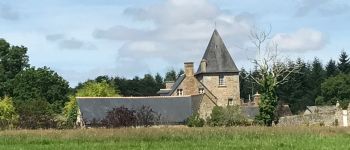
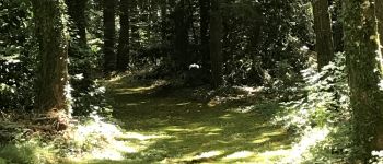
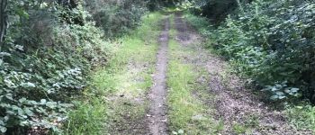
Photos


Positioning
Country:
France
Region :
Brittany
Department/Province :
Ille-et-Vilaine
Municipality :
Chauvigné
Location:
Unknown
Start:(Dec)
Start:(UTM)
613891 ; 5360229 (30U) N.
Comments