


Fayet_Chateau_Ronde_Fours

jagarnier
User GUIDE


Length
15.4 km

Max alt
703 m

Uphill gradient
406 m
Km-Effort
21 km

Min alt
578 m

Downhill gradient
406 m
Boucle
Yes
Creation date :
2017-12-08 00:00:00.0
Updated on :
2025-04-23 10:07:20.524
4h30
Difficulty : Medium

FREE GPS app for hiking
 SityTrail
IGN / Geographical institutes
SityTrail Plus
The world is yours!
About
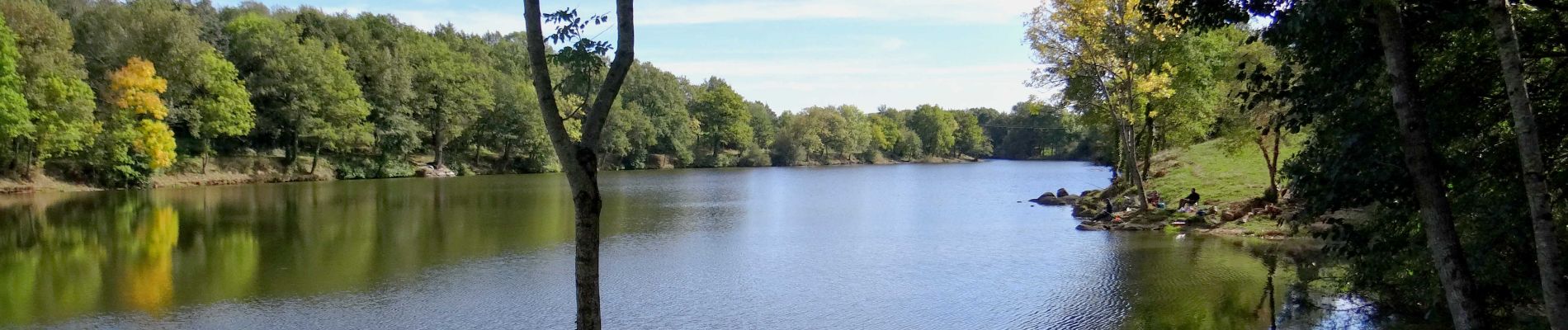
Trail Walking of 15.4 km to be discovered at Auvergne-Rhône-Alpes, Puy-de-Dôme, Fayet-le-Château. This trail is proposed by jagarnier.
Photos

Positioning
Country:
France
Region :
Auvergne-Rhône-Alpes
Department/Province :
Puy-de-Dôme
Municipality :
Fayet-le-Château
Location:
Unknown
Start:(Dec)
Start:(UTM)
531982 ; 5058344 (31T) N.
Comments
Rando tres variée