


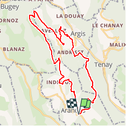
Arandas-Plomb-Plateau de Suerme

malc
User


1h56
Difficulty : Difficult

FREE GPS app for hiking
 SityTrail
IGN / Geographical institutes
SityTrail Plus
The world is yours!
About
Trail Mountain bike of 21 km to be discovered at Auvergne-Rhône-Alpes, Ain, Arandas. This trail is proposed by malc.
Description
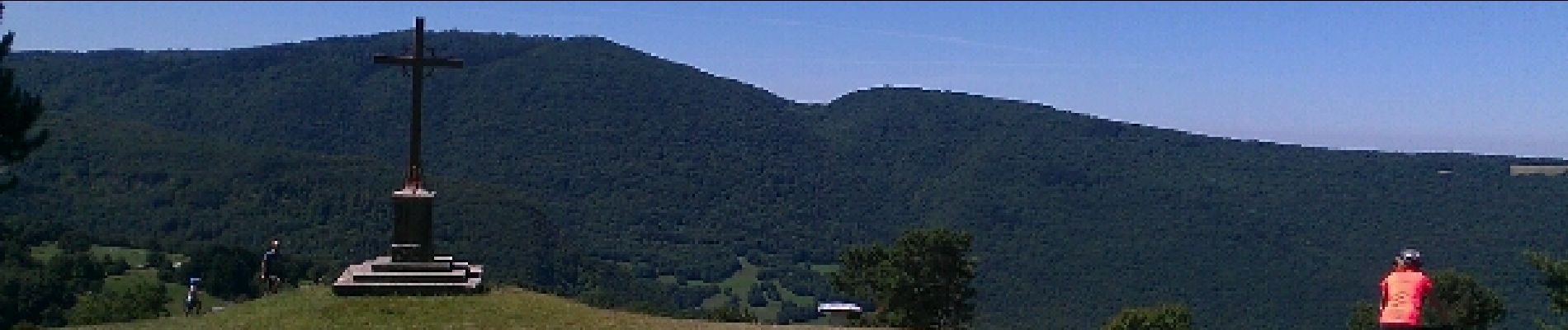
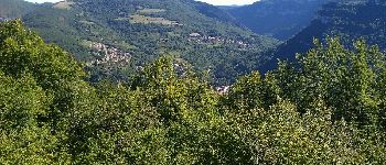
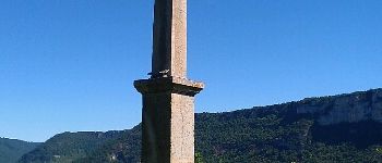
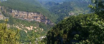
Très belle randonnée avec de très beau point de vue,traversée de hameau completement isolé. Attention vers le golet de la Batiaoure ne pas prendre le sentier dans ce sens du virage jusqu'au point 804m, il vaut mieux continuer par la route (raide et bien pris par endroit)
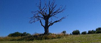
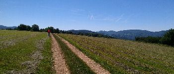
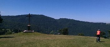
Photos


Positioning
Comments