Circuit de la pointe Garchine par les terres.

Dervalmarc
User
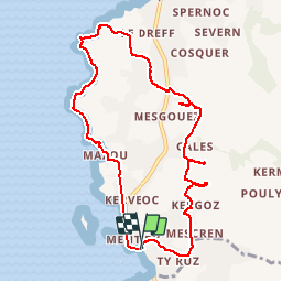

Length
9.3 km

Max alt
38 m

Uphill gradient
89 m
Km-Effort
10.5 km

Min alt
2 m

Downhill gradient
90 m
Boucle
Yes
Creation date :
2017-07-17 00:00:00.0
Updated on :
2017-07-17 00:00:00.0
2h57
Difficulty : Very easy

FREE GPS app for hiking
 SityTrail
IGN / Geographical institutes
SityTrail Plus
The world is yours!
About
Trail Walking of 9.3 km to be discovered at Brittany, Finistère, Porspoder. This trail is proposed by Dervalmarc.
Description
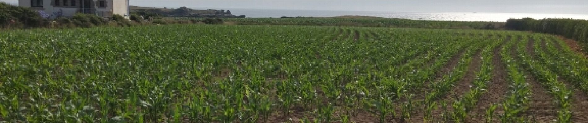
Randonnée entre l'Argoat et l'Armor.Circuit très varié entre route des lavoirs et megalithes.
Photos


Positioning
Country:
France
Region :
Brittany
Department/Province :
Finistère
Municipality :
Porspoder
Location:
Unknown
Start:(Dec)
Start:(UTM)
369306 ; 5371481 (30U) N.
Comments