moulins de Saut et tourneseille

margotte
User
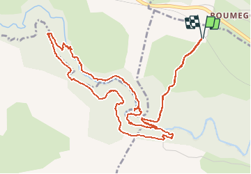

Length
7.8 km

Max alt
289 m

Uphill gradient
188 m
Km-Effort
10.3 km

Min alt
192 m

Downhill gradient
188 m
Boucle
Yes
Creation date :
2019-06-11 14:16:10.941
Updated on :
2020-04-26 15:30:01.027
2h12
Difficulty : Easy

FREE GPS app for hiking
 SityTrail
IGN / Geographical institutes
SityTrail Plus
The world is yours!
About
Trail Walking of 7.8 km to be discovered at Occitania, Lot, Gramat. This trail is proposed by margotte.
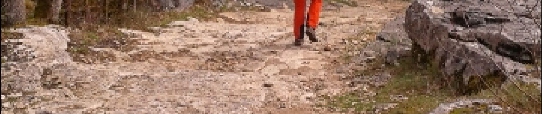
Photos


29 photos in total. Please click on a photo to see them all in the gallery.


Positioning
Country:
France
Region :
Occitania
Department/Province :
Lot
Municipality :
Gramat
Location:
Unknown
Start:(Dec)
Start:(UTM)
395461 ; 4961323 (31T) N.
Comments