Trail Walking Beauvezer - 
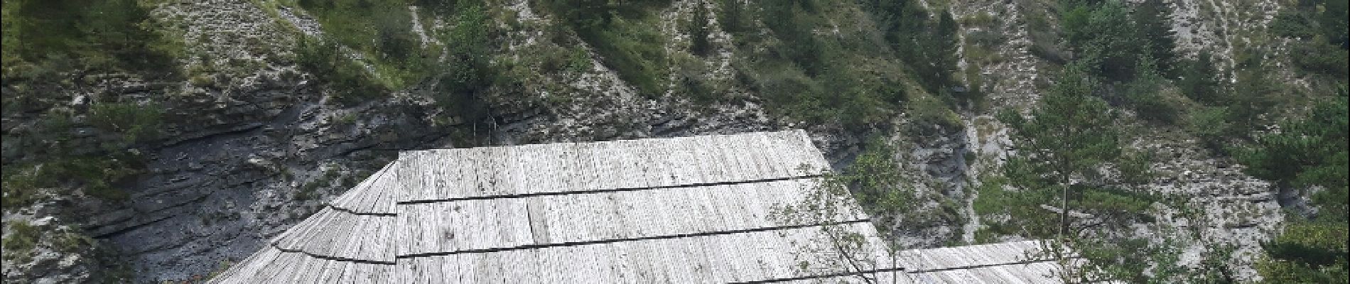
les gorges de St-Pierre - Photo
 amiral13
amiral13

User GUIDE

© OpenStreetMap contributors
Length
Length
6.5 km
Max alt
Max alt
1609 m
Uphill gradient
Uphill gradient
465 m
Km-Effort
Km-Effort  
12.7 km
Min alt
Min alt
1304 m
Downhill gradient
Downhill gradient
465 m
Boucle
Boucle
Yes
Creation date :
2017-07-21 00:00:00.0
Updated on :
2017-07-21 00:00:00.0

(0 Reviews)

Walking
Walking
2h03
Difficulty : Easy

Scan this QR Code to open this trail in the SityTrail application

FREE GPS app for hiking

Logo SityTrail SityTrail

IGN / Geographical institutes

Download SityTrail from the App Store Download SityTrail from Google Play

Logo SityTrail SityTrail Plus

The world is yours!

Download SityTrail from the App Store Download SityTrail from Google Play Download SityTrail on Huawei AppGallery

About

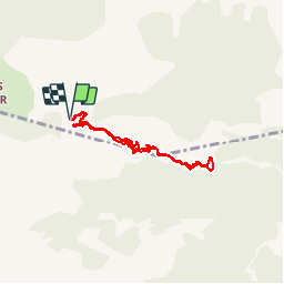
Trail Walking of 6.5 km to be discovered at Provence-Alpes-Côte d'Azur, Alpes-de-Haute-Provence, Beauvezer. This trail is proposed by amiral13.

Description

attention sentier vertigineux par endroit. Ne pas y emmener les personnes sensibles au vertige ou les enfants en bas age; si vous prenez le risque une surveillance de tous les instants sera nécessaire. d'autre part, le sentier est fortement exposé aux chutes de pierre, et ce sera à vos risques et périls.

le traçé GPS est très fantaisiste car perturbé par la proximité de la falaise

Elevation profile

Photos

Positioning

Country:
France
Region :
Provence-Alpes-Côte d'Azur
Department/Province :
Alpes-de-Haute-Provence
Municipality :
Beauvezer
Location:
Unknown
Start:(UTM)
309066 ; 4888563 (32T) N.


Close
My subscriptions