


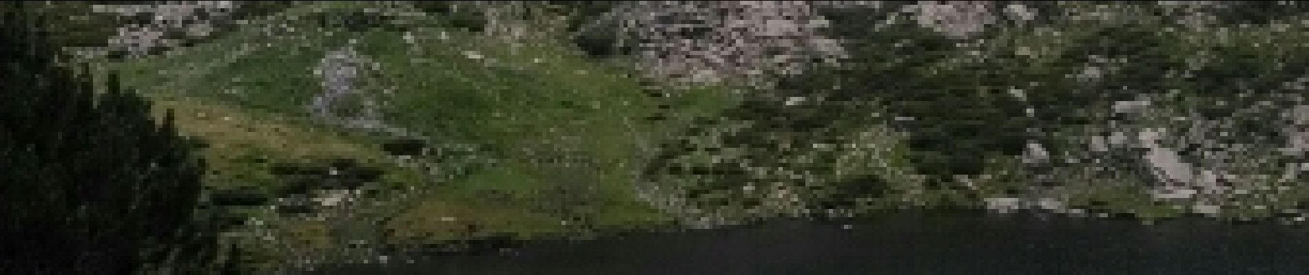
llorts_lac_angonella

fabtlsm
User
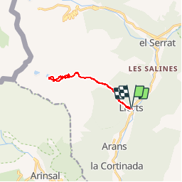

Length
10.4 km

Max alt
2354 m

Uphill gradient
936 m
Km-Effort
23 km

Min alt
1434 m

Downhill gradient
927 m
Boucle
Yes
Creation date :
2017-07-21 00:00:00.0
Updated on :
2017-07-21 00:00:00.0
5h29
Difficulty : Unknown

FREE GPS app for hiking
 SityTrail
IGN / Geographical institutes
SityTrail Plus
The world is yours!
About
Trail Walking of 10.4 km to be discovered at Andorra. This trail is proposed by fabtlsm.
Photos


Positioning
Country:
Andorra
Region :
Unknown
Department/Province :
Unknown
Municipality :
Unknown
Location:
Unknown
Start:(Dec)
Start:(UTM)
379127 ; 4717038 (31T) N.
Comments
génial