


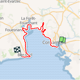
Beg Meil kerambigorn -Concarneau

ash
User

Length
23 km

Max alt
27 m

Uphill gradient
220 m
Km-Effort
26 km

Min alt
0 m

Downhill gradient
215 m
Boucle
No
Creation date :
2017-07-27 00:00:00.0
Updated on :
2017-07-27 00:00:00.0
4h49
Difficulty : Easy

FREE GPS app for hiking
 SityTrail
IGN / Geographical institutes
SityTrail Plus
The world is yours!
About
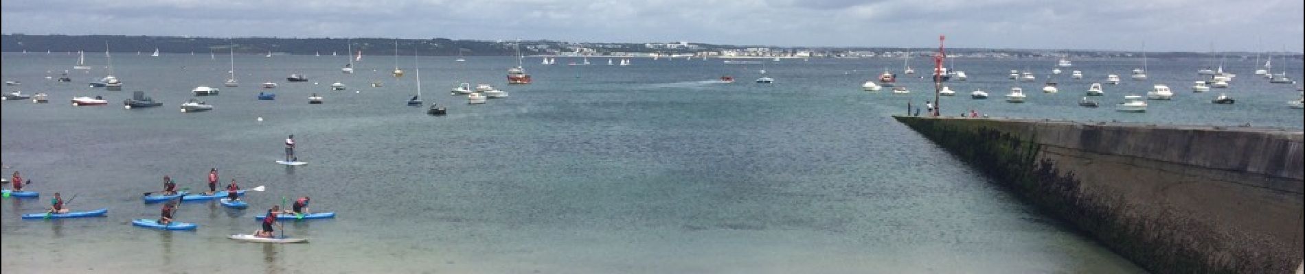
Trail Walking of 23 km to be discovered at Brittany, Finistère, Concarneau. This trail is proposed by ash.
Description
Aller ou retour par bateau vedettes de l'Odet
Photos


Positioning
Country:
France
Region :
Brittany
Department/Province :
Finistère
Municipality :
Concarneau
Location:
Unknown
Start:(Dec)
Start:(UTM)
431672 ; 5302179 (30T) N.
Comments