


67 VILLÉ CLIMONT VILLÉ

LUTZMarc
User
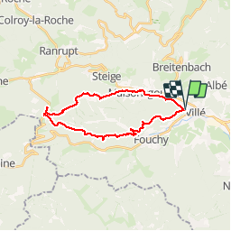

Length
22 km

Max alt
781 m

Uphill gradient
796 m
Km-Effort
33 km

Min alt
291 m

Downhill gradient
807 m
Boucle
Yes
Creation date :
2017-07-27 00:00:00.0
Updated on :
2017-07-27 00:00:00.0
5h05
Difficulty : Medium

FREE GPS app for hiking
 SityTrail
IGN / Geographical institutes
SityTrail Plus
The world is yours!
About
Trail Walking of 22 km to be discovered at Grand Est, Bas-Rhin, Villé. This trail is proposed by LUTZMarc.
Description
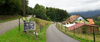
Marche en montagne.
Départ salle des sports de Villé
Repas possible à la
ferme Auberge des CIMES.
Il est préférable de réserver.
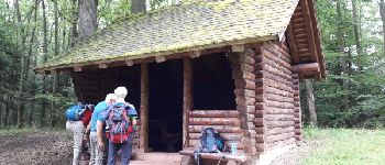
Photos


Positioning
Country:
France
Region :
Grand Est
Department/Province :
Bas-Rhin
Municipality :
Villé
Location:
Unknown
Start:(Dec)
Start:(UTM)
373752 ; 5355906 (32U) N.
Comments
excellent