


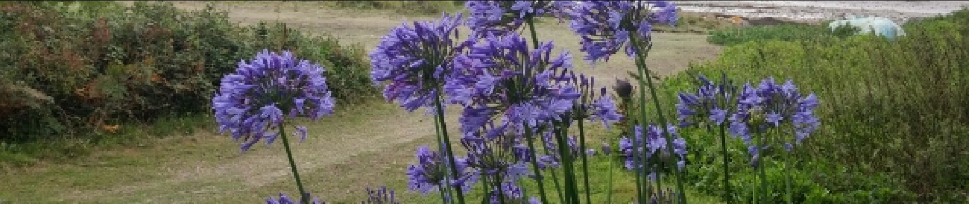
Ile de Callot.

Dervalmarc
User
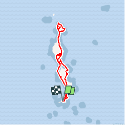

Length
5.8 km

Max alt
19 m

Uphill gradient
52 m
Km-Effort
6.5 km

Min alt
1 m

Downhill gradient
52 m
Boucle
Yes
Creation date :
2017-07-28 00:00:00.0
Updated on :
2017-07-28 00:00:00.0
1h54
Difficulty : Very easy

FREE GPS app for hiking
 SityTrail
IGN / Geographical institutes
SityTrail Plus
The world is yours!
About
Trail Walking of 5.8 km to be discovered at Brittany, Finistère, Carantec. This trail is proposed by Dervalmarc.
Photos


Positioning
Country:
France
Region :
Brittany
Department/Province :
Finistère
Municipality :
Carantec
Location:
Unknown
Start:(Dec)
Start:(UTM)
431986 ; 5392402 (30U) N.
Comments