


Liers-Antwerpen

phtasiaux
User
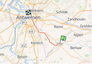

Length
16.9 km

Max alt
24 m

Uphill gradient
88 m
Km-Effort
18.1 km

Min alt
2 m

Downhill gradient
81 m
Boucle
No
Creation date :
2017-08-04 00:00:00.0
Updated on :
2020-08-21 10:51:05.979
1h00
Difficulty : Unknown

FREE GPS app for hiking
 SityTrail
IGN / Geographical institutes
SityTrail Plus
The world is yours!
About
Trail Other activity of 16.9 km to be discovered at Flanders, Antwerp, Lier. This trail is proposed by phtasiaux.
Positioning
Country:
Belgium
Region :
Flanders
Department/Province :
Antwerp
Municipality :
Lier
Location:
Lier
Start:(Dec)
Start:(UTM)
609825 ; 5665548 (31U) N.
Comments