


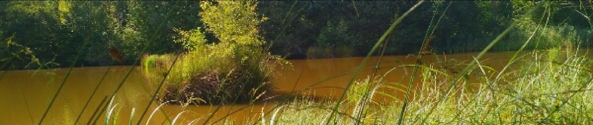
marche du 06082017 à Mondon

fabwin
User GUIDE
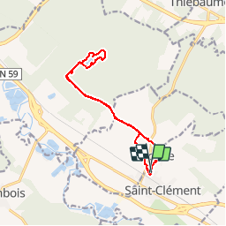

Length
13.4 km

Max alt
258 m

Uphill gradient
90 m
Km-Effort
14.6 km

Min alt
240 m

Downhill gradient
86 m
Boucle
Yes
Creation date :
2017-08-06 00:00:00.0
Updated on :
2017-08-06 00:00:00.0
3h13
Difficulty : Easy

FREE GPS app for hiking
 SityTrail
IGN / Geographical institutes
SityTrail Plus
The world is yours!
About
Trail Walking of 13.4 km to be discovered at Grand Est, Meurthe-et-Moselle, Laronxe. This trail is proposed by fabwin.
Description
marche à Mondon.Soleil et chaleur.
Photos


Positioning
Country:
France
Region :
Grand Est
Department/Province :
Meurthe-et-Moselle
Municipality :
Laronxe
Location:
Unknown
Start:(Dec)
Start:(UTM)
322968 ; 5378584 (32U) N.
Comments