Trail Walking Solignat - Solignat_Puy_Ysson - Photo
 jagarnier
jagarnier

User GUIDE

© OpenStreetMap contributors
Length
Length
7.7 km
Max alt
Max alt
841 m
Uphill gradient
Uphill gradient
252 m
Km-Effort
Km-Effort  
11.1 km
Min alt
Min alt
642 m
Downhill gradient
Downhill gradient
252 m
Boucle
Boucle
Yes
Creation date :
2017-08-08 00:00:00.0
Updated on :
2024-02-08 10:20:59.811

(0 Reviews)

Walking
Walking
2h15
Difficulty : Easy

Scan this QR Code to open this trail in the SityTrail application

FREE GPS app for hiking

Logo SityTrail SityTrail

IGN / Geographical institutes

Download SityTrail from the App Store Download SityTrail from Google Play

Logo SityTrail SityTrail Plus

The world is yours!

Download SityTrail from the App Store Download SityTrail from Google Play Download SityTrail on Huawei AppGallery

About

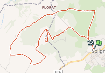
Trail Walking of 7.7 km to be discovered at Auvergne-Rhône-Alpes, Puy-de-Dôme, Solignat. This trail is proposed by jagarnier.

Description

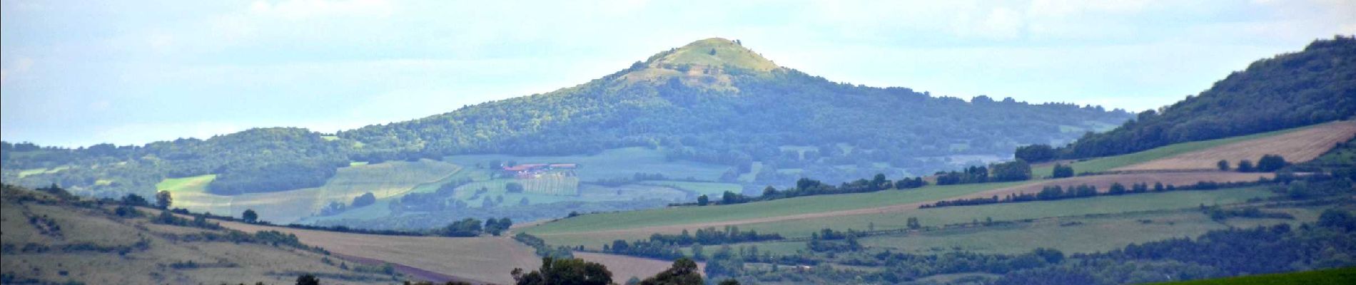
Le sommet du puy d'Ysson vous offre un des plus beaux panoramas de la région : La plaine agricole du Lembron et ses villages aux toits de tuiles rouges. Solignat, départ de la randonnée, en est un bel exemple.

Elevation profile

Photos

Positioning

Country:
France
Region :
Auvergne-Rhône-Alpes
Department/Province :
Puy-de-Dôme
Municipality :
Solignat
Location:
Unknown
Start:(UTM)
513400 ; 5040289 (31T) N.


Close
My subscriptions