


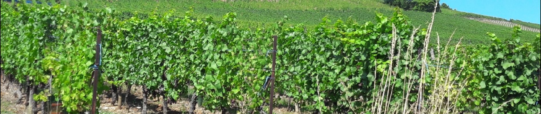
Le sentier géologique de Barr

VacheKiri67
User


5h07
Difficulty : Difficult

FREE GPS app for hiking
 SityTrail
IGN / Geographical institutes
SityTrail Plus
The world is yours!
About
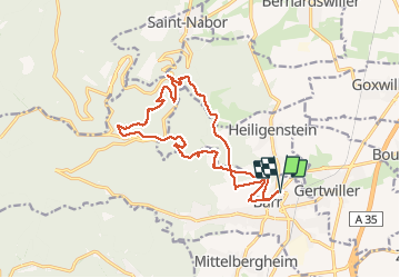
Trail Walking of 16.4 km to be discovered at Grand Est, Bas-Rhin, Barr. This trail is proposed by VacheKiri67.
Description
Faite le 14/08/2017 avec notre fils Théo de 12 ans. D'après "Passion Vosges - Autour du Mont Sainte-Odile" N°19 : Le sentier géologique de Barr. Durée indiquée pour le circuit : 5h.
Photos


29 photos in total. Please click on a photo to see them all in the gallery.
Positioning
Comments