


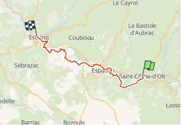

13.8 km | 17.9 km-effort


User


FREE GPS app for hiking
 SityTrail
IGN / Geographical institutes
SityTrail World
The world is yours!
Trail Walking of 20 km to be discovered at Occitania, Aveyron, Saint-Côme-d'Olt. This trail is proposed by choubaka77.
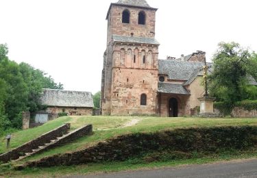
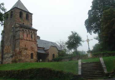
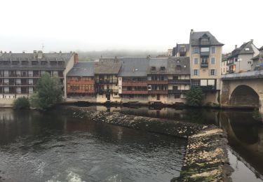
Belle itinéraire avec deux montées bien raides mais pas trop longue !!! Plusieurs possibilités d'arrêt et ravitaillement


Walking

Walking
Walking

Walking

On foot
Walking

Walking

Walking
Walking