


la jonction

jeff2
User
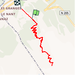

Length
13.7 km

Max alt
2578 m

Uphill gradient
1366 m
Km-Effort
33 km

Min alt
1045 m

Downhill gradient
1574 m
Boucle
No
Creation date :
2017-08-16 00:00:00.0
Updated on :
2017-08-16 00:00:00.0
7h36
Difficulty : Unknown
FREE GPS app for hiking
 SityTrail
IGN / Geographical institutes
SityTrail Plus
The world is yours!
About
Trail Other activity of 13.7 km to be discovered at Auvergne-Rhône-Alpes, Upper Savoy, Chamonix-Mont-Blanc. This trail is proposed by jeff2.
Description
Vero jef
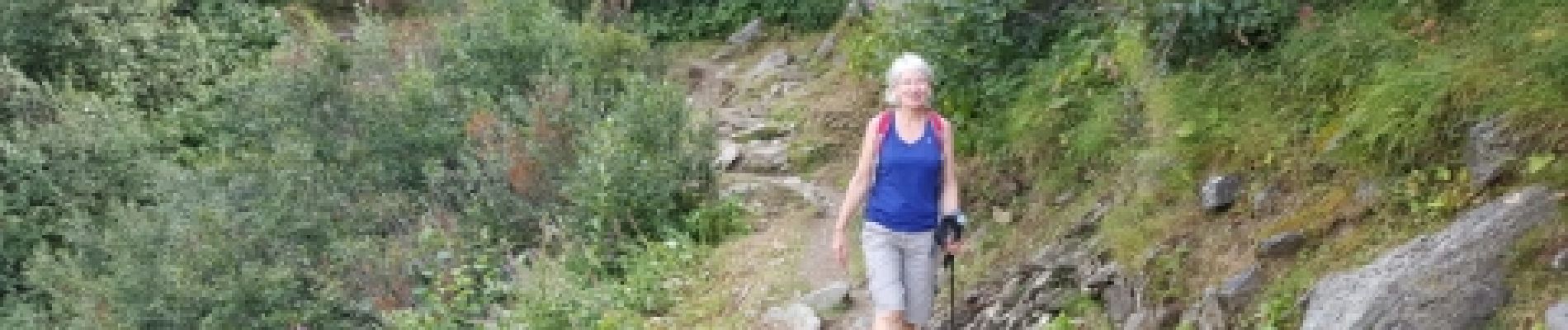
Photos


27 photos in total. Please click on a photo to see them all in the gallery.
Positioning
Country:
France
Region :
Auvergne-Rhône-Alpes
Department/Province :
Upper Savoy
Municipality :
Chamonix-Mont-Blanc
Location:
Unknown
Start:(Dec)
Start:(UTM)
332915 ; 5084766 (32T) N.
Comments