


le Buet 3108m

jeff2
User
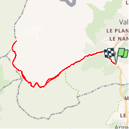

Length
21 km

Max alt
3083 m

Uphill gradient
1747 m
Km-Effort
44 km

Min alt
1386 m

Downhill gradient
1747 m
Boucle
Yes
Creation date :
2017-08-18 00:00:00.0
Updated on :
2017-08-18 00:00:00.0
7h28
Difficulty : Unknown

FREE GPS app for hiking
 SityTrail
IGN / Geographical institutes
SityTrail Plus
The world is yours!
About
Trail Other activity of 21 km to be discovered at Auvergne-Rhône-Alpes, Upper Savoy, Vallorcine. This trail is proposed by jeff2.
Description
JF départ à 7h15
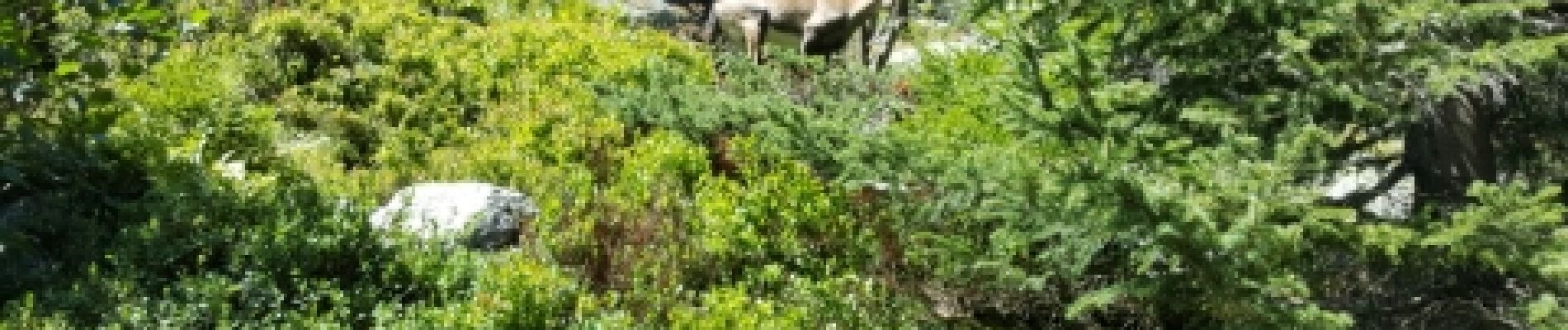
Photos


Positioning
Country:
France
Region :
Auvergne-Rhône-Alpes
Department/Province :
Upper Savoy
Municipality :
Vallorcine
Location:
Unknown
Start:(Dec)
Start:(UTM)
339006 ; 5097698 (32T) N.
Comments