


8 km | 13.4 km-effort


User


FREE GPS app for hiking
 SityTrail
IGN / Geographical institutes
SityTrail World
The world is yours!
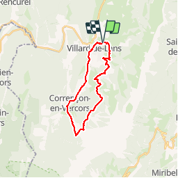
Trail Mountain bike of 22 km to be discovered at Auvergne-Rhône-Alpes, Isère, Villard-de-Lans. This trail is proposed by GrouGary.
Retour par route Correncon, Villars. VAE pour moi, VTT pr Bou. montée sans difficulté mais une bavante jusqu'au Grd Buisson.

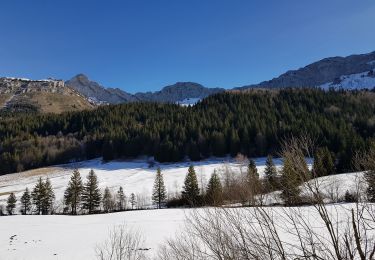
Snowshoes

Walking

Walking

Snowshoes
Walking
Walking
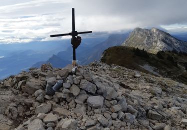
Walking

Snowshoes

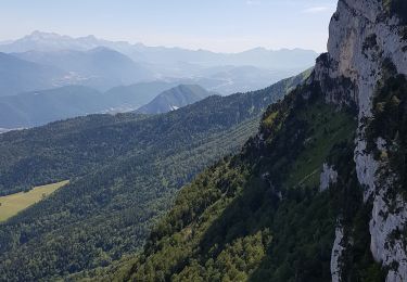
Mountain bike