


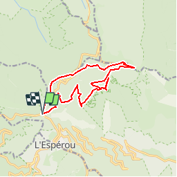

17.6 km | 23 km-effort


User


FREE GPS app for hiking
 SityTrail
IGN / Geographical institutes
SityTrail World
The world is yours!
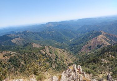
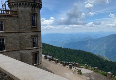
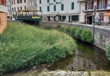
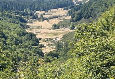
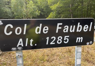
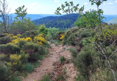
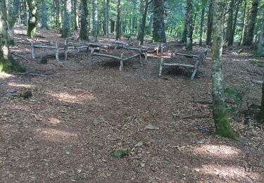
Trail Other activity of 13.8 km to be discovered at Occitania, Gard, Val-d'Aigoual. This trail is proposed by vertygo.
voir des photos et d'autres parcours sur [url]http://www.vertygo.org[/url]
[img][/img]
[url]https://goo.gl/photos/1qnevCsEnZk3C6ze8[/url]

Walking
Walking
Walking
Walking
Walking
Walking
Walking
Walking
Walking