


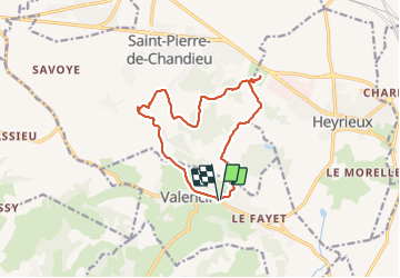
valencin-rajat-13kms

m261212
User

Length
13.1 km

Max alt
353 m

Uphill gradient
312 m
Km-Effort
17.3 km

Min alt
261 m

Downhill gradient
313 m
Boucle
Yes
Creation date :
2017-08-21 00:00:00.0
Updated on :
2017-08-21 00:00:00.0
3h50
Difficulty : Unknown

FREE GPS app for hiking
 SityTrail
IGN / Geographical institutes
SityTrail Plus
The world is yours!
About
Trail Walking of 13.1 km to be discovered at Auvergne-Rhône-Alpes, Isère, Valencin. This trail is proposed by m261212.
Positioning
Country:
France
Region :
Auvergne-Rhône-Alpes
Department/Province :
Isère
Municipality :
Valencin
Location:
Unknown
Start:(Dec)
Start:(UTM)
657966 ; 5052963 (31T) N.
Comments