


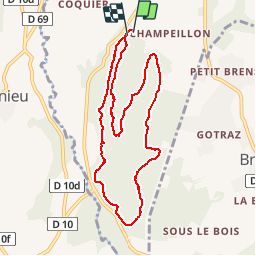

39 km | 54 km-effort


User


FREE GPS app for hiking
 SityTrail
IGN / Geographical institutes
SityTrail World
The world is yours!
Trail Running of 9.1 km to be discovered at Auvergne-Rhône-Alpes, Ain, Belley. This trail is proposed by tytycity.
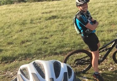
Mountain bike
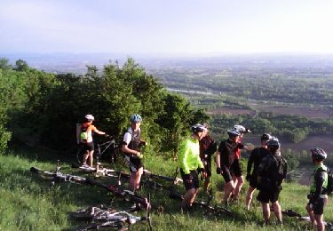
Mountain bike

Mountain bike
Mountain bike
Mountain bike
Mountain bike
Mountain bike
Mountain bike
Mountain bike
courir en forêt la fraîcheur en plus idéal. parcours pour débuter ou entraînement trail running.