


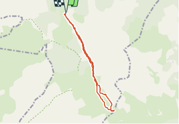

16.3 km | 28 km-effort

User


FREE GPS app for hiking
 SityTrail
IGN / Geographical institutes
SityTrail World
The world is yours!
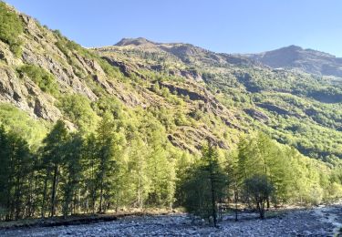
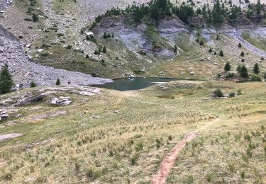
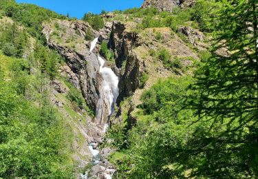
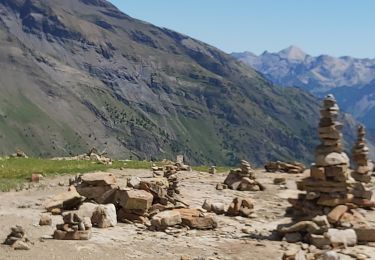
Trail Walking of 7.1 km to be discovered at Provence-Alpes-Côte d'Azur, Hautes-Alpes, Freissinières. This trail is proposed by gildascb.
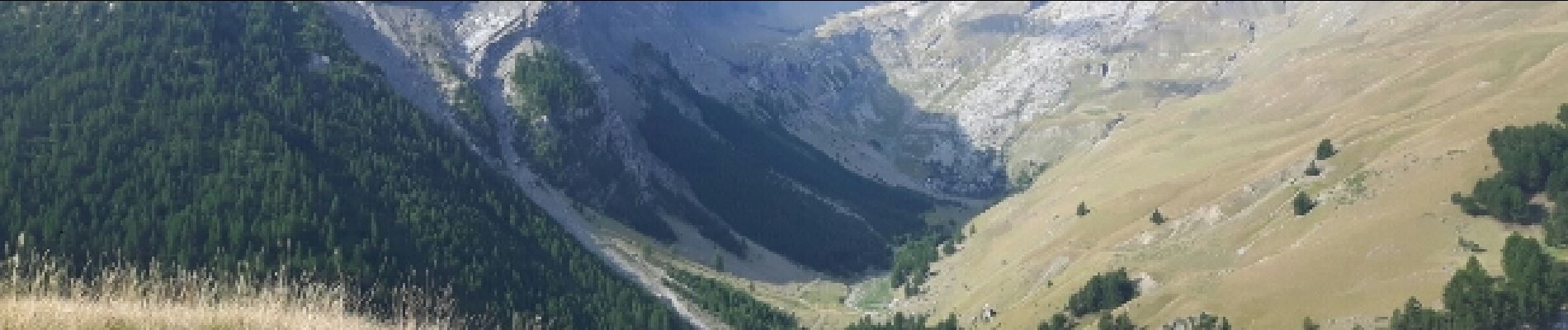
Accès par route forestière d'assez bonne qualité. Accessible normalement à toutes les voitures, à condition de rouler lentement.


Walking

Walking
Walking

Walking
Mountain bike
Walking
Walking
Walking
Walking