


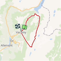


12.8 km | 26 km-effort

User


FREE GPS app for hiking
 SityTrail
IGN / Geographical institutes
SityTrail World
The world is yours!
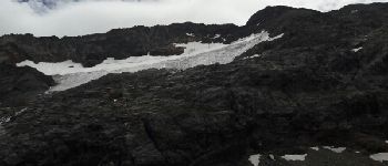
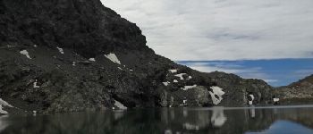
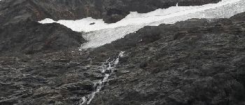
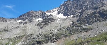
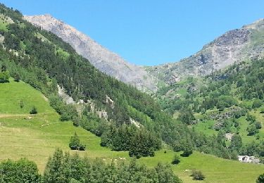
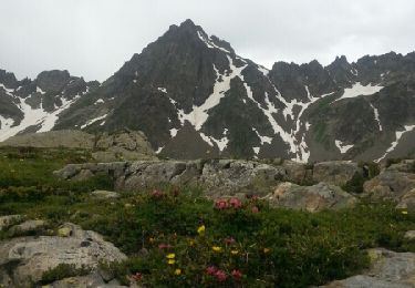
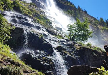
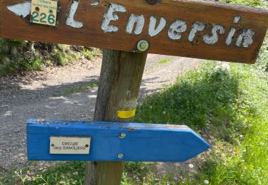
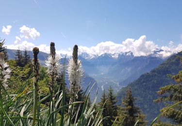
Trail Walking of 21 km to be discovered at Auvergne-Rhône-Alpes, Isère, Vaujany. This trail is proposed by Axelloceane.
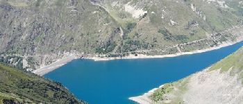
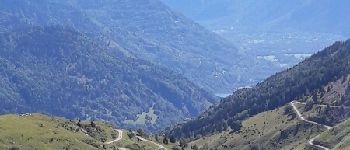
Départ de Vaujany en prenant le téléphérique pour le Dôme des Rousses.Ensuite suivre le sentier balisé avec des vues sur plusieurs glaciers et cimes pour rejoindre le col du Couard.Continuer le sentier pour aller au col le Sabot avec une vue sur le barrage de Grand Maison.Retour à Vaujany en passant par La Vilette.


Walking
Walking
Walking
Snowshoes
Walking
Walking
Touring skiing
Snowshoes
Walking