


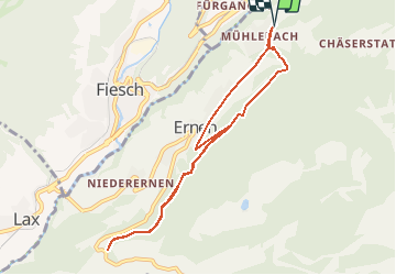

4.6 km | 6.2 km-effort

User


FREE GPS app for hiking
 SityTrail
IGN / Geographical institutes
SityTrail World
The world is yours!
Trail Walking of 8.5 km to be discovered at Valais/Wallis, Goms, Ernen. This trail is proposed by duamerg.
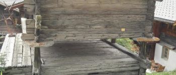
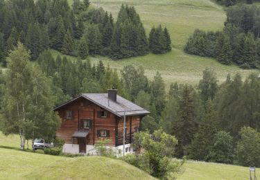
Laisser la voiture sur le parking à la sortie de Mühlebach. Traverser le haut du village et admirer les vieux chalets et raccards qui pour certains datent de 1390, 1450. La bonne surprise de cette course, a voir.
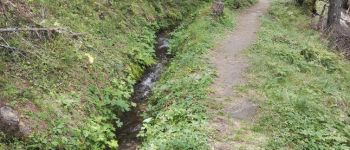
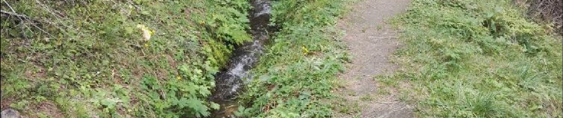
Après le ruisseau vous attend une longue et dure montée qui vous amène au chalet du gardien et au début du bisse ouvert à la promenade. Le longer jusqu'à sa fin.
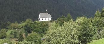
Différentes options vous seront proposées pour le retour en passant par Ernen. Ma proposition est de faire en sens inverse une bonne partie de ce bisse avant de rejoindre la dernière descente sur Ernen par un bon sentier qui épargnera vos genoux. Retour à Mühlebach par un chemin hors de la circulation. Profitez d'admirer à nouveau ces magnifiques très anciens chalets.
Joli bisse dans la forêt, pas de difficultés à part la première partie, rude montée.
Vous pouvez bien entendu faire ce tour en sens inverse si vous êtes des randonneurs sans crainte des descentes raides.


On foot

Walking

On foot
Other activity
Other activity
Other activity
Other activity