


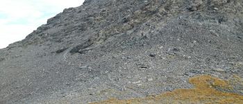
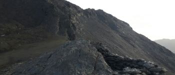
le Bric Froid

amiral13
User GUIDE
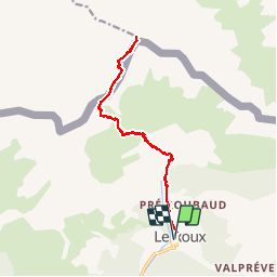

Length
16.5 km

Max alt
3288 m

Uphill gradient
1597 m
Km-Effort
38 km

Min alt
1734 m

Downhill gradient
1600 m
Boucle
Yes
Creation date :
2017-09-09 00:00:00.0
Updated on :
2017-09-09 00:00:00.0
5h54
Difficulty : Difficult

FREE GPS app for hiking
 SityTrail
IGN / Geographical institutes
SityTrail Plus
The world is yours!
About
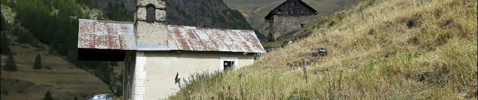
Trail Walking of 16.5 km to be discovered at Provence-Alpes-Côte d'Azur, Hautes-Alpes, Abriès-Ristolas. This trail is proposed by amiral13.
Description
en fin de saison l'itinéraire est évident; cela ne doit pas être le cas en début de saison et la difficulté peut-être augmentée par la présence de neige.
Photos


Positioning
Country:
France
Region :
Provence-Alpes-Côte d'Azur
Department/Province :
Hautes-Alpes
Municipality :
Abriès-Ristolas
Location:
Unknown
Start:(Dec)
Start:(UTM)
337391 ; 4964906 (32T) N.
Comments