


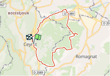
Ceyrat_Montrognon_Chomontel

jagarnier
User GUIDE


2h42
Difficulty : Medium

FREE GPS app for hiking
 SityTrail
IGN / Geographical institutes
SityTrail Plus
The world is yours!
About
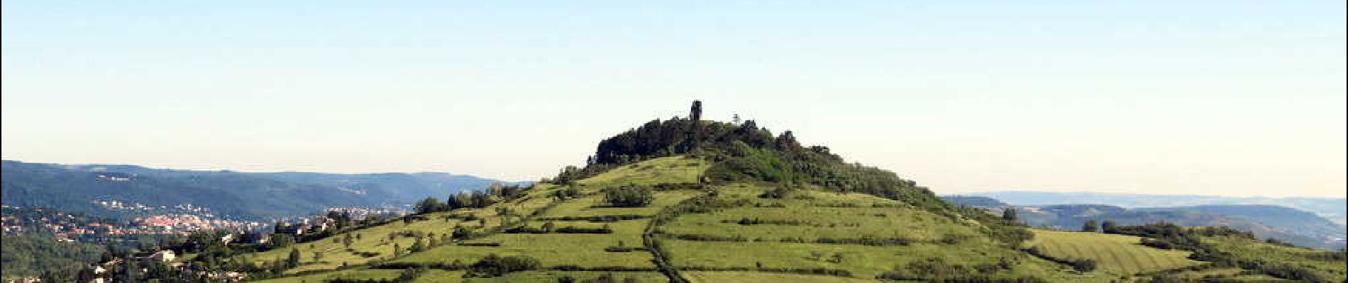
Trail Walking of 8.4 km to be discovered at Auvergne-Rhône-Alpes, Puy-de-Dôme, Ceyrat. This trail is proposed by jagarnier.
Description
Cette randonnée chemine entre trois anciens villages vignerons, où les marques du passé viticole restent très présentes. Ce parcours offre un concentré de curiosités, avec les buttes volcaniques de Montrognon et de Chomontel, et des vues rayonnantes sur l'agglomération et les montagnes environnantes.
Photos


Positioning
Comments