


67 Dambach la ville

LUTZMarc
User
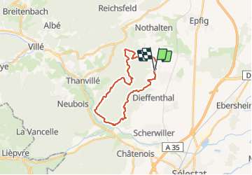

Length
23 km

Max alt
624 m

Uphill gradient
845 m
Km-Effort
34 km

Min alt
213 m

Downhill gradient
845 m
Boucle
Yes
Creation date :
2017-08-30 00:00:00.0
Updated on :
2017-08-30 00:00:00.0
5h34
Difficulty : Difficult

FREE GPS app for hiking
 SityTrail
IGN / Geographical institutes
SityTrail Plus
The world is yours!
About
Trail Walking of 23 km to be discovered at Grand Est, Bas-Rhin, Dambach-la-Ville. This trail is proposed by LUTZMarc.
Description
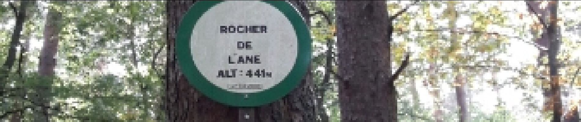
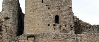
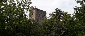
circuit des chateaux
Photos


Positioning
Country:
France
Region :
Grand Est
Department/Province :
Bas-Rhin
Municipality :
Dambach-la-Ville
Location:
Unknown
Start:(Dec)
Start:(UTM)
382892 ; 5353835 (32U) N.
Comments