


Rome-41-Embrun-St Alban-20170911

patrickdanilo
User
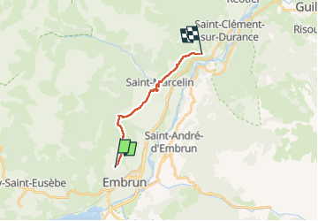

Length
12 km

Max alt
1311 m

Uphill gradient
419 m
Km-Effort
17.6 km

Min alt
975 m

Downhill gradient
422 m
Boucle
No
Creation date :
2018-02-17 00:00:00.0
Updated on :
2022-11-21 18:47:29.875
3h51
Difficulty : Very difficult

FREE GPS app for hiking
 SityTrail
IGN / Geographical institutes
SityTrail Plus
The world is yours!
About
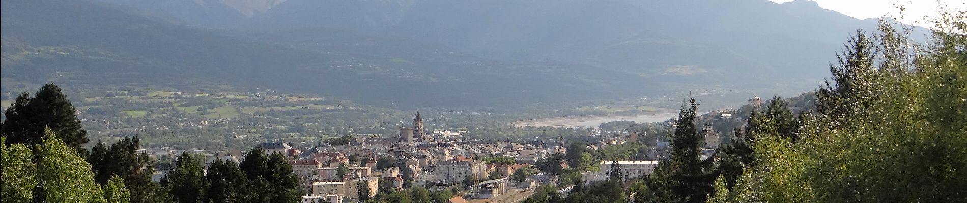
Trail Walking of 12 km to be discovered at Provence-Alpes-Côte d'Azur, Hautes-Alpes, Embrun. This trail is proposed by patrickdanilo.
Description
ALTA-21-N°0407F41-GR653D
Photos


Positioning
Country:
France
Region :
Provence-Alpes-Côte d'Azur
Department/Province :
Hautes-Alpes
Municipality :
Embrun
Location:
Unknown
Start:(Dec)
Start:(UTM)
300599 ; 4938518 (32T) N.
Comments