


ile de behuard

louis49
User
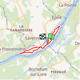

Length
9.7 km

Max alt
24 m

Uphill gradient
55 m
Km-Effort
10.4 km

Min alt
9 m

Downhill gradient
55 m
Boucle
Yes
Creation date :
2017-09-11 00:00:00.0
Updated on :
2017-09-11 00:00:00.0
2h32
Difficulty : Easy

FREE GPS app for hiking
 SityTrail
IGN / Geographical institutes
SityTrail Plus
The world is yours!
About
Trail Walking of 9.7 km to be discovered at Pays de la Loire, Maine-et-Loire, Béhuard. This trail is proposed by louis49.
Description
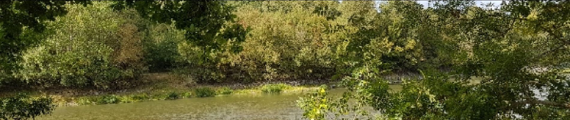
le long de la loire
Photos


Positioning
Country:
France
Region :
Pays de la Loire
Department/Province :
Maine-et-Loire
Municipality :
Béhuard
Location:
Unknown
Start:(Dec)
Start:(UTM)
677751 ; 5249942 (30T) N.
Comments