


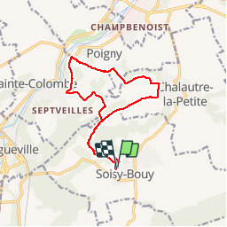
boucle Soisy Bouy Seine et Marne

Lychee
User

Length
13.3 km

Max alt
145 m

Uphill gradient
213 m
Km-Effort
16.1 km

Min alt
74 m

Downhill gradient
213 m
Boucle
Yes
Creation date :
2019-03-14 09:53:08.776
Updated on :
2019-03-14 09:53:09.067
3h42
Difficulty : Easy

FREE GPS app for hiking
 SityTrail
IGN / Geographical institutes
SityTrail Plus
The world is yours!
About
Trail Walking of 13.3 km to be discovered at Ile-de-France, Seine-et-Marne, Soisy-Bouy. This trail is proposed by Lychee.
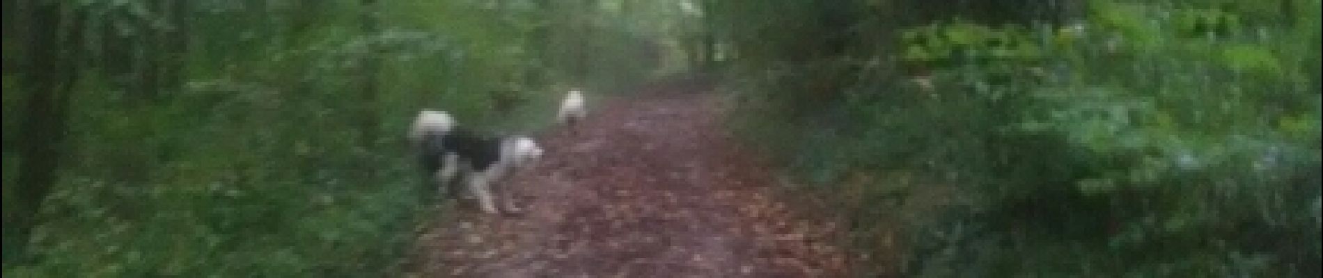
Photos


Positioning
Country:
France
Region :
Ile-de-France
Department/Province :
Seine-et-Marne
Municipality :
Soisy-Bouy
Location:
Unknown
Start:(Dec)
Start:(UTM)
521247 ; 5372976 (31U) N.
Comments