


8.6 km | 16.2 km-effort

User


FREE GPS app for hiking
 SityTrail
IGN / Geographical institutes
SityTrail World
The world is yours!
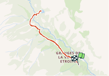
Trail Walking of 4.2 km to be discovered at Provence-Alpes-Côte d'Azur, Hautes-Alpes, Névache. This trail is proposed by Dervalmarc.
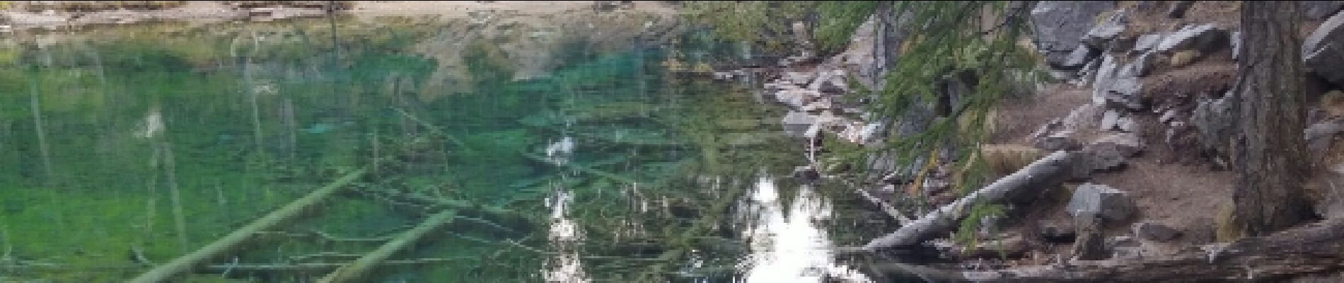
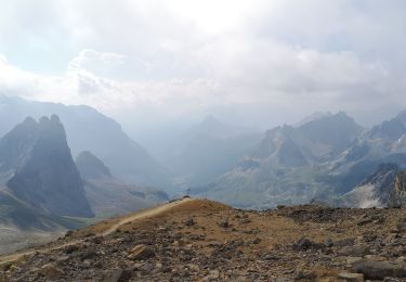
Promenade dans la vallée Étroite,ponctuée par la découverte du lac Vert,joyau d'une couleur rare et préservé dans son biotope de moyenne montagne.
 - Photo 1")
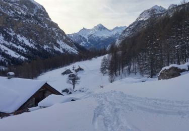
 - Photo 2")
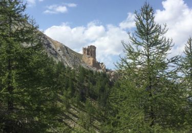
 - Photo 3")
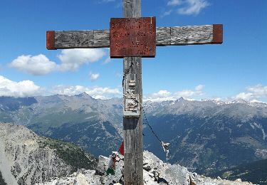
 - Photo 4")
 - Photo 5")
 - Photo 6")
 - Photo 7")

Walking

Mountain bike

Walking
Walking
Walking
Walking
Touring skiing
Walking
Walking
super marchette