


Voie verte du Valois

gilbertdu60
User
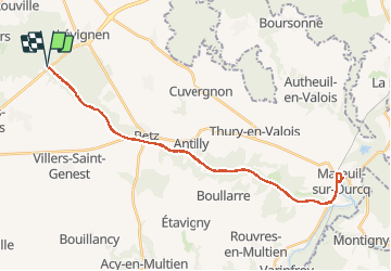

Length
34 km

Max alt
122 m

Uphill gradient
426 m
Km-Effort
40 km

Min alt
61 m

Downhill gradient
427 m
Boucle
Yes
Creation date :
2018-04-16 23:50:29.023
Updated on :
2018-04-16 23:50:29.023
2h17
Difficulty : Easy

FREE GPS app for hiking
 SityTrail
IGN / Geographical institutes
SityTrail Plus
The world is yours!
About
Trail Cycle of 34 km to be discovered at Hauts-de-France, Oise, Boissy-Fresnoy. This trail is proposed by gilbertdu60.
Description
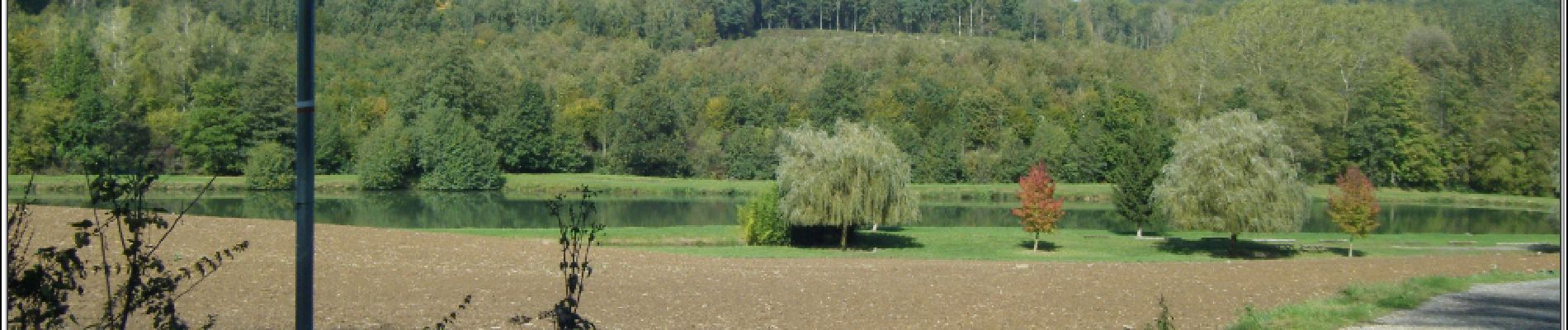
Voie verte du Valois, départ à Boissy Lévignen, arrivée à Mareuil-sur-Ourcq en passant par Betz
http://www.oisetourisme.com/vvvpic060v504fkb/voie-verte-dormoy-villers-mareuil-sur-ourcq/ormoy-villers
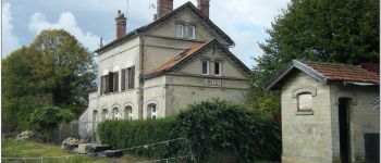
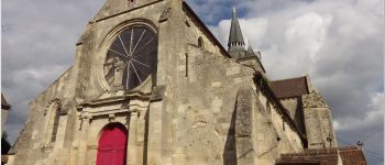
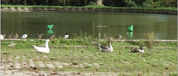
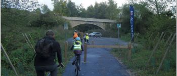
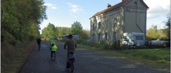
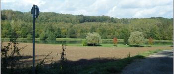
Photos


Positioning
Country:
France
Region :
Hauts-de-France
Department/Province :
Oise
Municipality :
Boissy-Fresnoy
Location:
Unknown
Start:(Dec)
Start:(UTM)
492231 ; 5447905 (31U) N.
Comments