


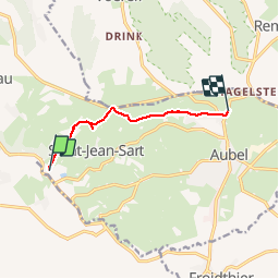
Val Dieu Aubel

Lychee
User

Length
5.5 km

Max alt
255 m

Uphill gradient
137 m
Km-Effort
7.2 km

Min alt
160 m

Downhill gradient
70 m
Boucle
No
Creation date :
2019-03-14 09:53:06.598
Updated on :
2019-03-14 09:53:06.642
1h22
Difficulty : Very easy

FREE GPS app for hiking
 SityTrail
IGN / Geographical institutes
SityTrail Plus
The world is yours!
About
Trail Walking of 5.5 km to be discovered at Wallonia, Liège, Aubel. This trail is proposed by Lychee.
Description
reco sur le gr563 tour du pays de Herve
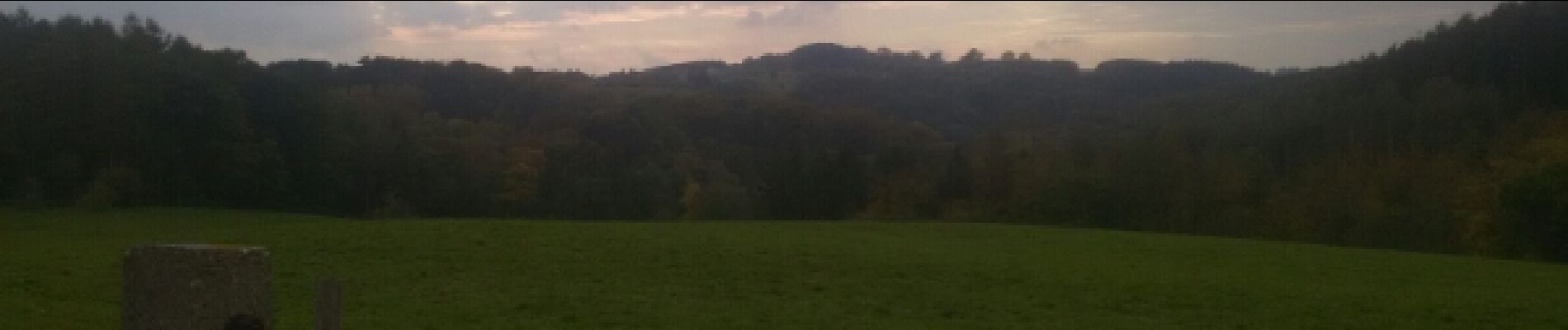
Photos


Positioning
Country:
Belgium
Region :
Wallonia
Department/Province :
Liège
Municipality :
Aubel
Location:
Aubel
Start:(Dec)
Start:(UTM)
697837 ; 5620310 (31U) N.
Comments